The Northern Andaman Route
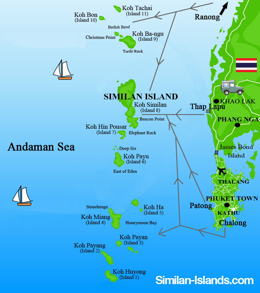
The Northern Andaman Route includes two of Thailand’s offshore islands; Mu Koh Surin and Mu Koh Siliman marine national parks. The islands are in the northernmost region of Andaman sea, which is affiliated with the southern portion of the Mergui Archipelago.
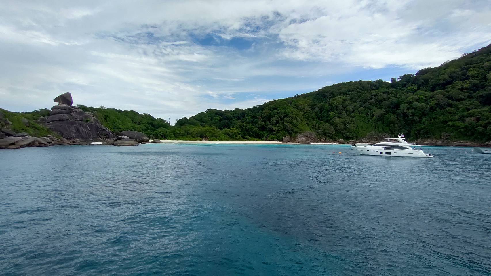
(credit: www.similan-islands.com)
Mergui Archipelago represents a string of high granite islands extending from granitic mountains out to the continental shelf of the Andaman Sea, and has formed the northwest borders between Thailand and Myanmar. This region lies at the convergence of the southern marine influence; the Indonesian organisms via the Straits of Malacca, and the northern Bay of Bengal organisms.
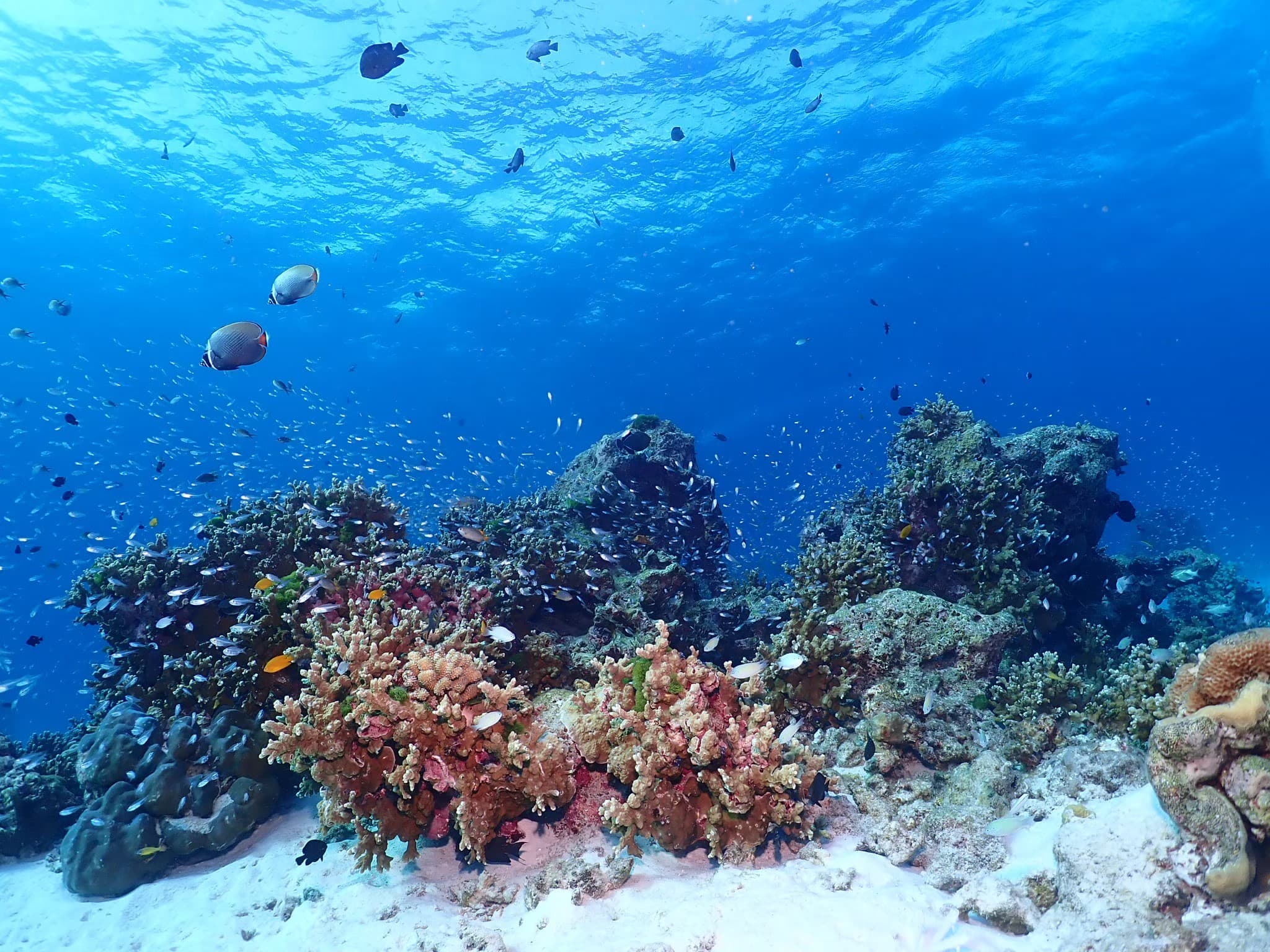
The currents flowing clockwise around the Andaman Sea interact with seasonal water masses passing through the Straits of Malacca, providing a complex mixture of marine organisms. This area supports more than 700 species of marine fishes, 140 species of marine crustaceans and numerous species of hard corals. Marine macrofauna, including Whale shark, Manta ray, several types of whales and dolphins are frequently found between the islands.
Mu Koh Similan Marine National Park
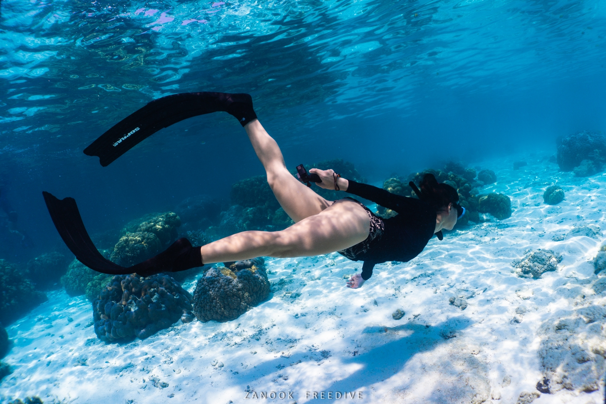
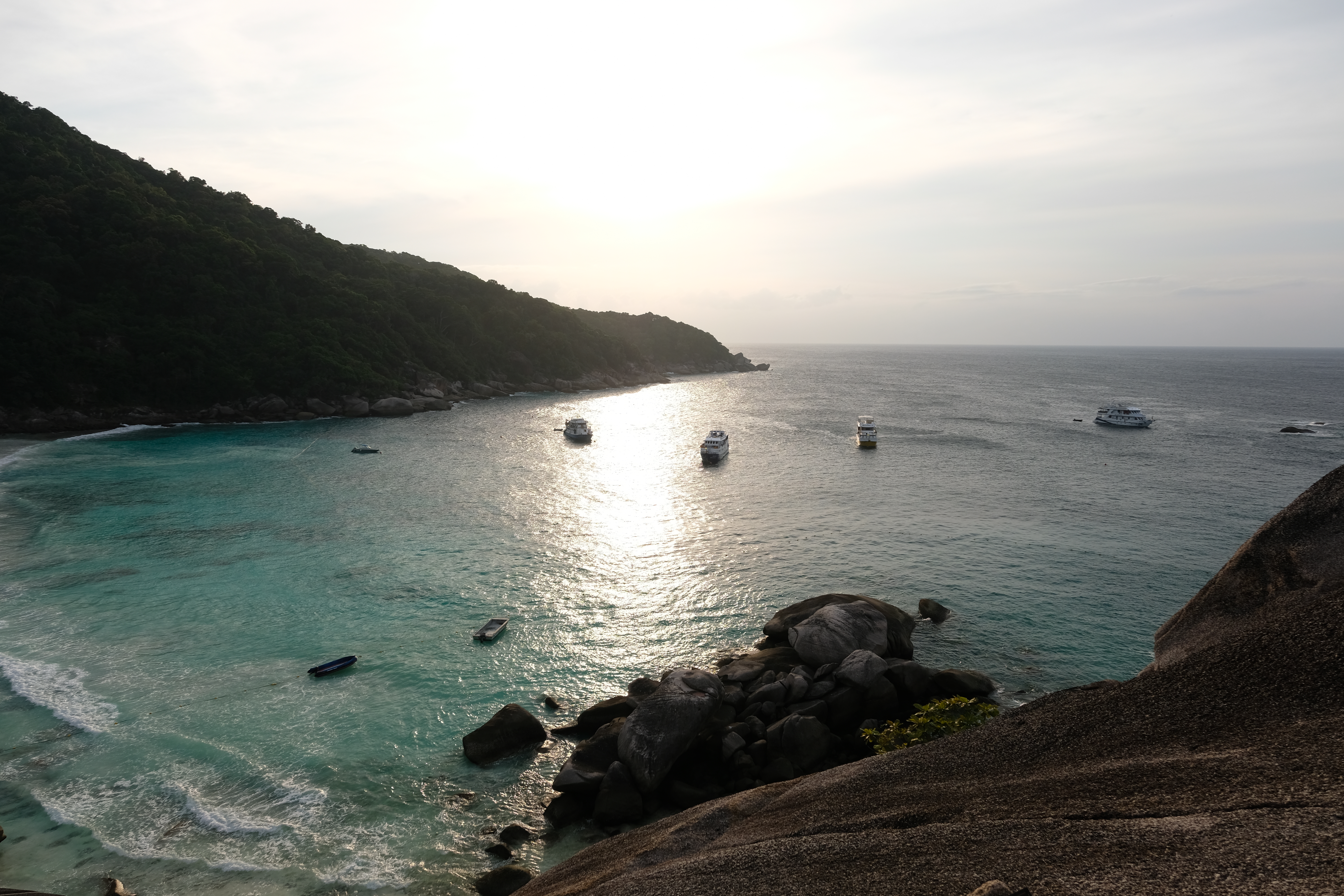
Mu Koh Similan National Park consists of numerous islands with diverse topography, high and steep granite mountains and exceptionally fine sandy beaches with large boulder rock formations. The island group lies in the north-south axis on the edge of the continental shelf and is noted for the clarity of the surrounding sea.
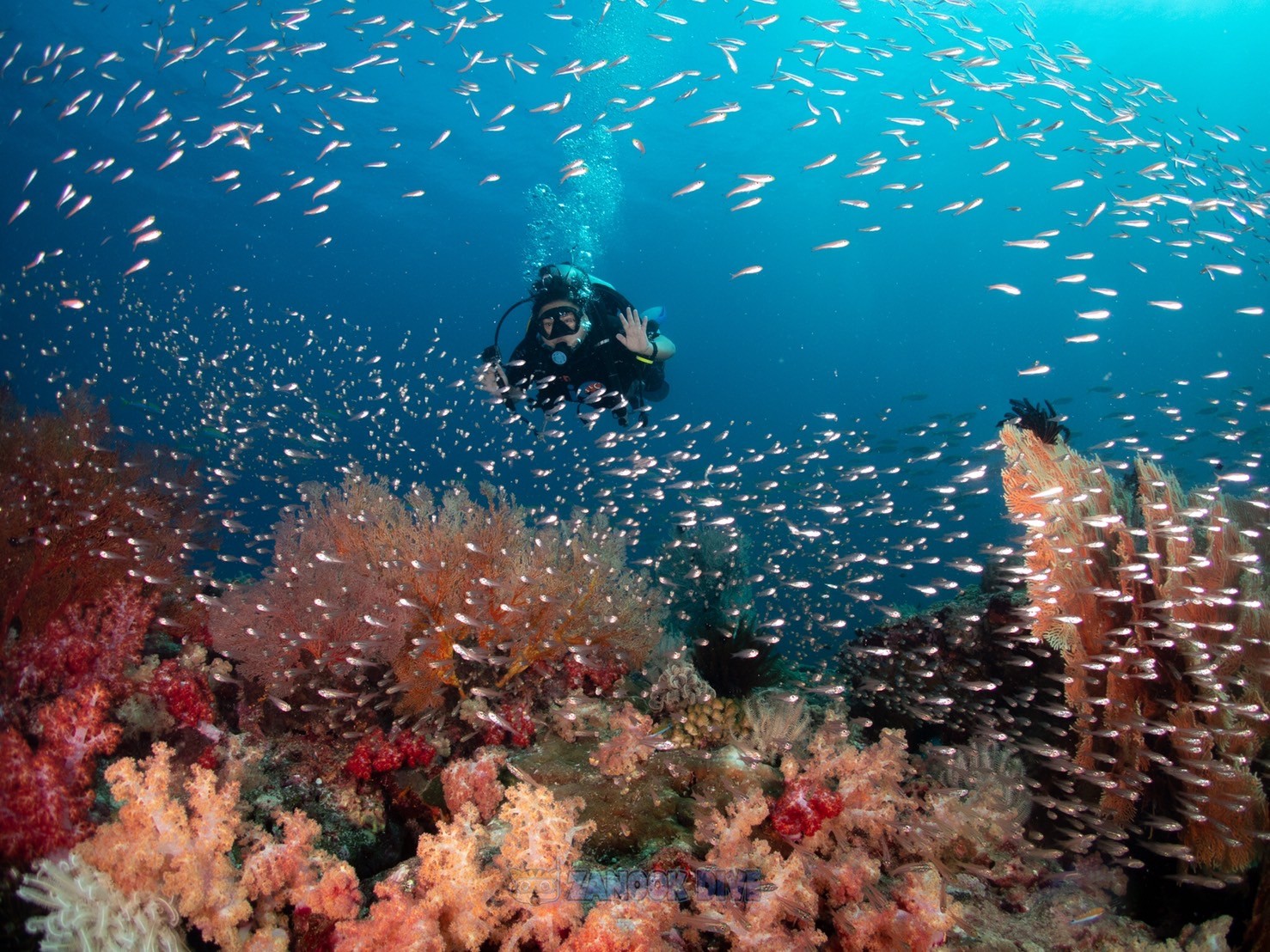
The park is consists of two separated islands which are Koh Tachai and Koh Bon, together with a group of 9 islands; Koh Ba-ngu on the northernmost if the group, Koh Similan, Koh payu, Koh Hok, Koh Haa, Koh Miang, Koh Paya, Koh Payang and Koh Huyong on the southernmost. The national park is also known as one of the great diving spot in Thailand, especially its pinnacles such as Hin Pusa, Christmas Point and Fantasy Reef (Now the last two spots are closed for rehabilitation and prohibited from diving).
Kon Ba-ngu
Koh Ba-ngu, AKA the Ninth Island, is the northernmost island of the Similan Islands group. The island has no large sandy beach but entails a lot of underwater boulders and pinnacles which are the great diving sites. Reefs surrounding an island are formed to the depth around 11-18 meters along the coastline.
Koh Similan
Koh Similan, AKA the Eight Island, is the biggest island of the group. The distinctive landscapes include the big horseshoe-like bay called Ao Guak (horseshoe Bay) and Hin Bai (Sail Rock). The island also situates the national park ranger station and visitor center.
Koh Payu
Koh Payu, once known as Koh Hok but now as the Seventh Island, The coastline consisted of crevices and cliffs with some small sandy beaches around the island. Reefs surrounding the island are formed along the north-eastern of the island to the depth of 18 meters. There are several dive sites around the island, particularly on the western side which has many pinnacle and boulders with encrusted croal.
Koh Haa & Koh Hok
Koh Haa (the Fifth Island) and Koh Hok (the Sixth Island) are the two small adjacent islands surrounded by reefs. The Reefs on the northern side of Koh hok are in good condition with high density and diversity. The distinctive dive sites in Koh Hok include Him Muan Deaw on the south-eastern side, the Tuna Wreck on the south, and 12 Zodiac man made dive sites on the west of the island.
Koh Miang
Koh Miang (the Forth Island) has two beaches, the bigger one on the eastern side where the national park office is situated and the smaller one is the camping area.
Reefs surrounding the island are formed only on the northern and eastern side of the island to the depth of 12-23 meters. The southeast reef condition is good and vast and covered to the depth of 15 meters while the reef on the northern side extended to 27 meters depth.
Koh Payan, Koh Payang and Koh Huyong
Koh Payan (the Third Island), Koh Payang (the Second Island) and Koh Huyong (the First Island) are the three adjacent islands which are the breeding and nursing ground of sea turtles. The areas are now prohibited from any tourism activities.
Hin Pusa
Hin Pusa, AKA Elephant head rock or Skull rock, is the largest pinnacle situated on the south-western of Similan Island. The site consists of three large emerging rocks which the largest one located on the western side of the group. Around the rocks lie several smaller boulders which are covered with gorgonian fans and soft corals.
Due to the complexity of the rock formation, there are several swim through and channels for divers and underwater photographers, it is also one of a few places that are frequently visited by large fishes such as sharks, Bumphead parrotfish and Napoleon wrasses.
Mu Koh Surin Marine National Park
Mu Koh Surin National park (Surin) is an archipelago of five rocky islands. The two large islands are Koh Surin Nuea (North Surin Island) and Koh Surin Tai (South Surin Island), and the other three smaller islands surrounding the big two are Koh She (Strock Island), Koh Klang (Pachumba Island) and Koh Khai (Torinla Island)
Surin situated in the Andaman Sea approximately 60 km from the coast of Phang-Nga Province and a few kilometers south of the maritime border with Myanmar. The park covers an area of approximately 135 square kilometers. Surin boasts some of the best coral reefs in Thailand; shallow fringing reefs and deep oceanic pinnacle reefs. Therefore, the islands are impeccable for both snorkeling and scuba diving.
One of the most attractive and renowned diving sites in the national park is Richelieu Rock. Richelieu rock is a group of emerging rock which the summit only appears during ebb tide. As a result of its proper location situated between mainland and offshore archipelagos, Richelieu rock provides great shelter for pelagic fishes and macrofaunal. Therefore, this is one of the places that is frequently visited by Whale sharks.
(Source of info: Bureau of Economic of Tourism and Sports, International Affairs Division)